Tuckanarra Project, WA
ECR owns an 80% interest in the Tuckanarra Project, an area of 4,030 hectares (9,958 acres), which lies 30km NNE of the town of Cue in the Murchison Goldfield, Western Australia. The Tuckanarra Project comprises exploration licences E20/1065 and E20/1109 which straddle the Great Northern Highway and lie immediately west and south of the historic gold mining centre of Tuckanarra.
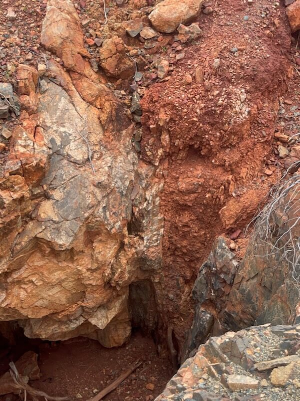
The known mineralised zones in the Tuckanarra goldfield are associated with a zone comprising a series of mafic and inter-banded mafic, ultramafic and banded iron formations, with a variable component of minor shales. Odyssey Gold Ltd has announced a total JORC resource of 407,000 oz Au in an area which is located less than 1.5km east from the boundary of E20/1065. These mafic and ultramafic units are believed to extend into the NNE of the ECR Tuckanarra Project’s licence acreage and are prospective for gold hosted in the mafic/ultramafic rock sequence.
It is intended that geological mapping, deep ground penetrating radar investigations and detector reconnaissance will be utilised to explore this prospective zone.
The previous tenement holders undertook a review of exploration on neighbouring tenements which highlighted the potential for gold in paleo-drainages. The main drainage system that drains the Tuckanarra goldfield, which includes Odyssey Gold Ltd’s resource, passes onto E20/1065.
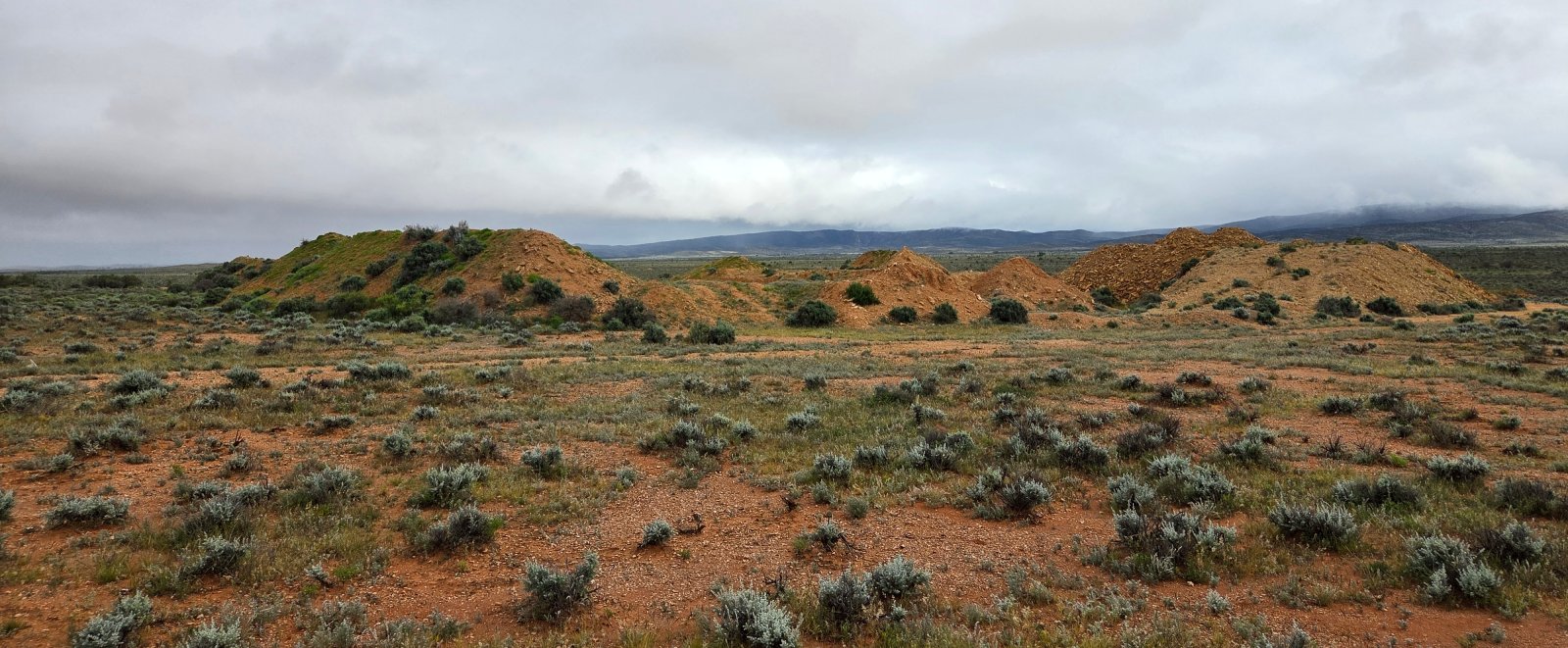
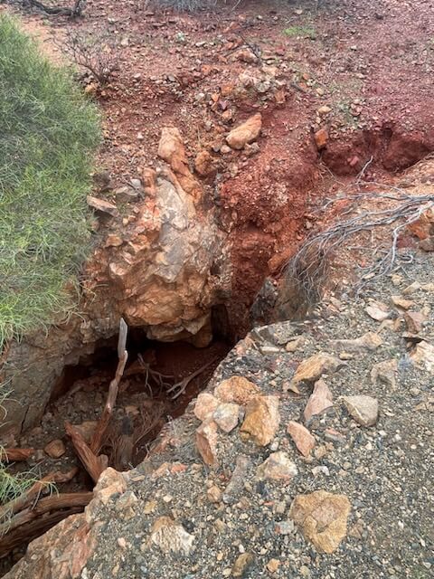
Historical drilling by Agricola intersected a possible paleochannel just 1.8 km to the east of the ECR Tuckanarra Project’s boundary where an intersection in drill hole assayed 4.31g/t over 3m from 45m which included 1m @ 8.13g/t. Aradar survey on the licence area detected the channel at shallower depth. The licence area also includes unrecorded old mine shafts, one from which a line of over 100+ gold nuggets were found in 2024. There is a large area of land immediately south of the Tuckanarra Project that has yielded large quantities of nuggets which appear to be shedding from the banded ironstone/quartz zones, potentially within ECR’s acreage.
An analysis of aerial magnetics utilising the maghemite footprint (which is inferred to be within ancient paleochannels) over the NE zone of ECR’s exploration licences has highlighted four zones with high potential for the occurrence of paleochannel hosted gold. These zones extend for more than 700m each, and if gold bearing, could represent a previously undetected and significant upside.
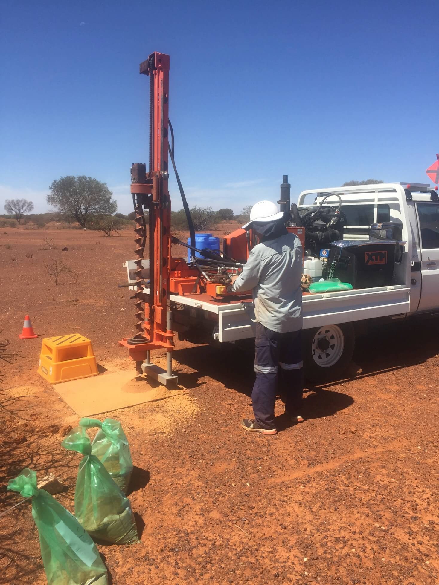
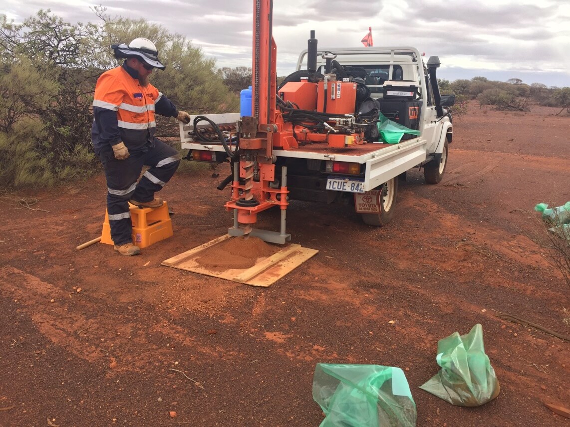
Drainage from the mafic rock zone in the south east of ECR’s exploration licences also presents a prospective zone for the occurrence of paleochannel hosted gold. This zone is thought to be characterised by narrow quartz stockwork zones which contain course gold, and drainage from these areas has potentially concentrated gold in buried alluvial deposits. Limited drilling in the general area using an auger drilling rig showed that gold occurred throughout the alluvial/colluvial profile down to 8m highlighting the potential for gold concentration zones within the paleo-drainage system in this area. To investigate these ancient paleo-drainage systems, it is intended to utilise deep ground penetrating radar which will highlight the channels and provide focus for drilling and excavation of test pits.